Monday, September 16, 2013

GREEN LAKE & VIRGINIA LAKES NEAR BRIDGEPORT AND MONO LAKE

Morning Sun captures Range of Light Sierra Nevada Range
Leaving Bridgeport, we get a nice view of the Range of Light.


We find the dirt road that leads to the trail head for Green Lake and then on to East Lake.
Its cloudy and we expect some rain.  The rain begins lightly and we hike to Green Lake expecting it might clear, but the rain gets heavier, so we decide on Green Lake only as there is some thunder.


The hike is lovely and pretty easy with pine covered
View from dirt road leading to trail head.
 trails.  We spend some time at Green Lake and wonder what it would be like on a typical Sierra crystal clear sunny day.  The rain is healing and pleasant though as we drove up from the baking desert.
dirt road to trail head
Green Lake trail

 
Green Lake


 VIRGINIA LAKES    
The hike starts out meandering through woods and lake and stream jumping; varied and interesting.  Then climbing along the dry mountains trail with great views of the lakes and on top finally a view of Yosemite and John Muir Wilderness.  Switchbacks on the dry trail make it fairly easy.  Its about 10 mi RT, but because of the variations seems shorter.   
Trail View Virginia Lakes
                                                                              

High elevation above tree line views
                                                                                             

Mountain Ingenuity
View of Mono Lake & 395 from Conway Summit


Monday, August 12, 2013

COTTONWOOD PASS/SIERRA NEVADA RANGE

Starting out the hike meanders through Horseshoe Meadow.  Slow ascent with stream crossings the trail heads up through Red Fir and Jeffrey Pine.  Stunning views and an array of rock formations and resting rocks define the trail early on as we climb.  Its a perfect day with slight high thin clouds and temps in the 80's.

This is a well traveled hike this August day and we pass many hikers staying the night and those on longer backpacking trips.  One we met was in there for 30 days.  Must be quite and experience.  With so many traveling through, companionship is there if you need it.  We make it to the pass with blisters, corrected by stuffing grass in my shoe.  A nice respite at Chicken Spring Lake and we head back as the day is cooling.  8.5 mile round trip with a 1200 ft. gain and we are ready for a cool treat back at Lone Pine before the drive home.


Sunday, August 11, 2013

HIKING TAHOE AREA

Echo Lake View from trail
ECHO LAKE

After driving all day previous and many stops, we are up late for our first visit; Echo Lake. It is a Saturday in early August and the parking lots and roads are full of cars.  We take the 2.5 mile hike along the path with mostly lake overlooks.  Crowded, but many hikers take the water taxi back, so we have a quiet and cool return as the day is late.
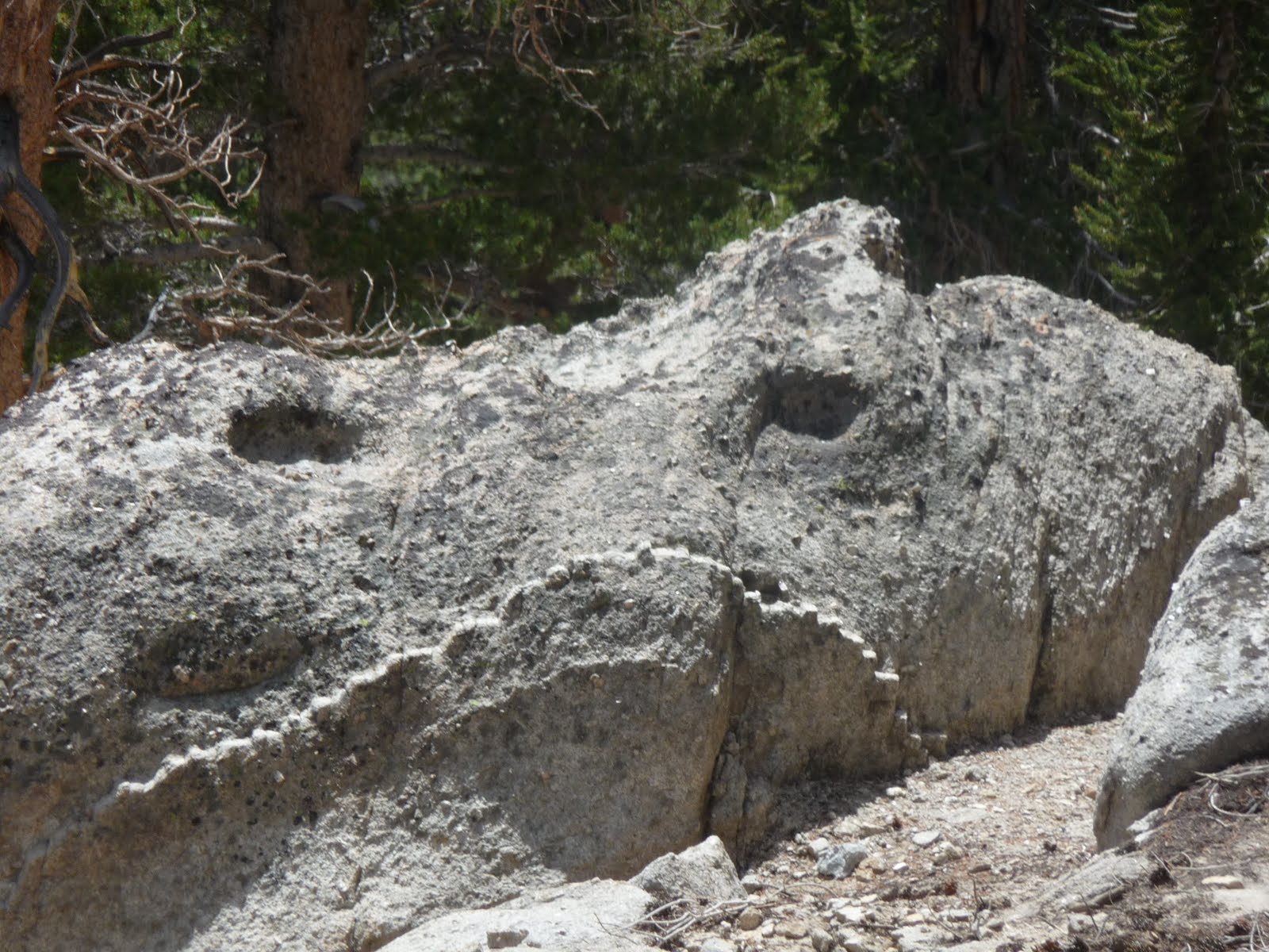
Wall at Echo Lake
Trail with Lake Views
DRIVE AROUND LAKE TAHOE & BARKER PASS HIKE

Sunday is an easy day with sight seeing around Lake Tahoe, stopping to enjoy the rocky shore and cool breezes off the lake.
on the dock at local park 
While tripping around the rocks, small camera dropped out of my pocket and we lost some pictures.


Barker Pass Trail
Wanted a quiet short hike after doing the tourist thing.  Drove up to Barker Pass trail head which crosses into the PCT.  Hiked a few miles in and got our wish of solitude.  Took some pictures  of lake view and trail and returned around 6pm.  A good stretch and thought about salad for dinner out doors. Applebee's is where we ended up and some Casino time (10 minutes seemed enough), then an evening starry walk near the Lake.


Barker Pass Trail Lake View     


ALOHA LAKE
Trail flattens to Lake Aloha
 Monday took the water taxi from where we left off Saturday on Echo Lake to the 10 mi round trip hike to Lake Aloha.  Rocky climb with gorgeous views.  Trail flattens out about half way and leads to high Sierra playground of Aloha Lake.  Stayed there for a rest and snack for about an hour before the hike back.
"Rock" Beach @ Lake Aloha
View of Echo Lake from rocky trail


RUBICON TRAIL  Took the easy but refreshing trail around the Lake near Emerald Bay.  Stopped for a snack on a view rock and the Stellers Jays found us quickly.  We put out almonds and they efficiently grabbed their booty.  Found a perfect beach spot great for a refreshing swim.  As we climbed back up the hill, a western Tanager surprised us with its yellow and orange color.   On the drive home we treated ourselves to a double dip home made ice cream near Richardson Camp.
View of Emerald Bay Rubicon Trail
Stellar's Jay visits for some almonds
Our private little beach~Water is so clear can see bottom in parts @67 ft depth
A Refreshing swim
h


Aaahh!


Monday, December 5, 2011

LATE FALL WALK

The late afternoon sun plays on the mountains in interesting ways which are never quite the same.  The birds love the aqueduct this time of year.  Skittish buffleheads wait for my approach and then play follow the leader flying quickly over the water only to return and play out the drama as the walk progresses.
Ravens rest, convene and chatter among themselves perched on the edge of the water and on marking posts and trees.  Ducks are courting...no ducklings yet.  As I am shooting for color and shadow, I see a large raptor, not a red tail peering from the juniper bush and checking out potential meals.  As soon as I look away, it flies away exposing the massive wing span.

Sunday, August 14, 2011

Mt. Wilson


Hiking around Mt. Wilson on a hot July day.  Too many bugs this day and spent time at the Observatory and Museum

Monday, July 18, 2011

SIERRA NEVADA/ NEW ARMY PASS

View of Owens Valley/Lone Pine area/ ~ 8500ft up
We started out at 9am on a perfect cloudless day with temperatures in the high 70's.  The walk starts out easy through the trees listening to the stream running from the heavy snow melt still coming out of the high country.

Waterfalls view from rest stop on New Army Pass Trail
Yellow Marmot
A fairly easy climb through the forest we almost lost the trail at the fork as the stream was running strong obscuring part of the trail.   A tricky cross with the help of tree branches we stopped for a break surprising us with a great view of a double waterfall.   A marmot sunny itself scurried away as we approached.

At 11:30 we reached the first lake getting above the tree line and into the dry rock geologic features.
Resting at stream approaching Long Lake
Long Lake
High Lake View
High Lake
High Lake
What is it?  Red stalk plant in shade.
At Long Lake we stopped by the stream for another break and again missed the trail as the sign was damaged just where we stopped and the trail was again obscured by the heavy running streams. We ended up taking the long way around hopping boulders and picked up the trail on the other side.  We reached High Lake at about 2:30 and time for lunch.  The New Army Pass was the next stop, but the trail was covered in snow and we decided to return, expecting that it may be late and cool on the return trip.  Tired we walked back taking our time and enjoying the views.  Back at 6pm the gain in elevation was about 2000 ft and we had been walking since 9am.  So disappointed at not getting to the pass, we were very satisfied with the experience and the gorgeous natural area and variety of views and geological features.


Sunday, June 12, 2011

DEVIL'S CHAIR HIKE/ DEVIL'S PUNCHBOWL

Beautiful breezy late spring day for the 9 mile round trip hike.  Starts out with about a .8 mile moderate climb...


then continues along the ridge line facing north with spectacular views of the Antelope Valley and the stunning rock formations of the Devil's Punchbowl area.


The trail dips at the last half mile to the Devil's Chair challenging anybody with vertigo.


The "chair" is positioned on granite with excellent view of the interesting geology with beautiful coloring throughout the rock formations.  The Antelope Valley's own little "Skywalk".